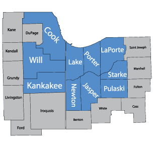
Serving Schererville, IN | 219-227-8733
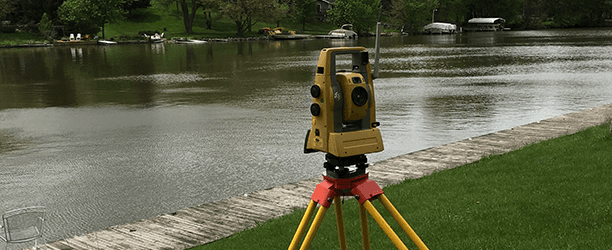
Types of Surveys
Learn About Our Surveys
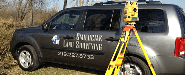
When you come to Smierciak Land Surveying, you are getting the benefits of choosing a family-owned business employing 3 generations of land surveyors. We are licensed in Indiana and Illinois for your convenience. Fill out our convenient form to request your survey quote today.
Boundary Surveys Available
These surveys retrace the property boundaries of a parcel of land described in a deed, showing all of the improvements located within the parcel on the plat of a survey. It also indicates the extent of easements or encroachments, which may show limitations imposed on the property by state or local regulations.
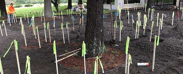
Stake Out Property Lines
Physically marking one or more boundary lines of a property can be desirable for a number of reasons, including the proposed installation of a fence or the planning of other improvements near the boundary.
Surveyor Location Reports in Indiana
This is not a survey, instead, this type of report is designed for use by a title insurance company with loan policies on small tracts containing a one (1) to four (4) family house, even if now used for commercial purposes. This should not be used for nonresidential tracts greater than 2 acres.
No monumentation is required and the uncertainty of location may be more or less than 1 foot in subdivisions and plus or minus 2 feet on small, unplatted tracts.
Sometimes the distances from improvements to property lines might be estimated, therefore it is important to note that these reports shouldn't be used to locate, for construction, new improvements such as building additions or fences.
Mortgage Inspections for Illinois
This type of inspection is not a survey but is intended for use by a mortgage lender and/or title insurer.
It is only a professional opinion of the relationship of improvements in respect to deed lines and the distance, location, and type of building on the property intended to assist in the determination of the property's suitability to serve as collateral for a mortgage.
This is not an opinion as to deed, title, or platted lines and is not to be used in matters of boundary disputes, legal actions between landowners, or for construction purposes. A mortgage inspection includes field investigation, measurements, and graphic representation of improvements.
ALTA/ACSM Land Title Surveys
This specialized survey meets the specific needs peculiar to title insurance purposes and enables title insurance companies to insure title to land without exceptions as to survey matters.
All surveys of this type should be subject to the "2011 Minimum Standard Detail Requirements for ALTA/ACSM Land Title Surveys," published jointly by the American Land Title Association and the National Society of Professional Surveyors. All ALTA/ACSM land title surveys are to be performed to current ALTA/ACSM Minimum Standard Detail Requirements.
The licensed professional land surveyor must discuss with the client, additional or optional table "A" requirements to be provided.
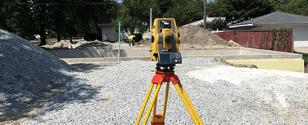
Topographic Surveys
A topographic survey delineates horizontal and/or vertical locations of existing natural or man-made features of a parcel of land and represents them as contours on a plot. This type of survey will show shape and location of both natural and artificial features within a determined area in addition to the surface drainage of water.
Elevation Certificates
Flood Elevation Certificates are documents generated by surveyors or qualified persons that will provide data to help properly rate properties for flood insurance. An elevation certificate can determine where your home is located in relationship to the Base Flood Elevation.
If your property is located in a flood zone and you are considering disputing it, you may want to obtain a flood certificate.
Call 219-227-8733 with questions about the types of surveys we offer.


Privacy Policy
| Do Not Share My Information
| Conditions of Use
| Notice and Take Down Policy
| Website Accessibility Policy
© 2024
The content on this website is owned by us and our licensors. Do not copy any content (including images) without our consent.